October 21, 2021

Plant-for-the-Planet
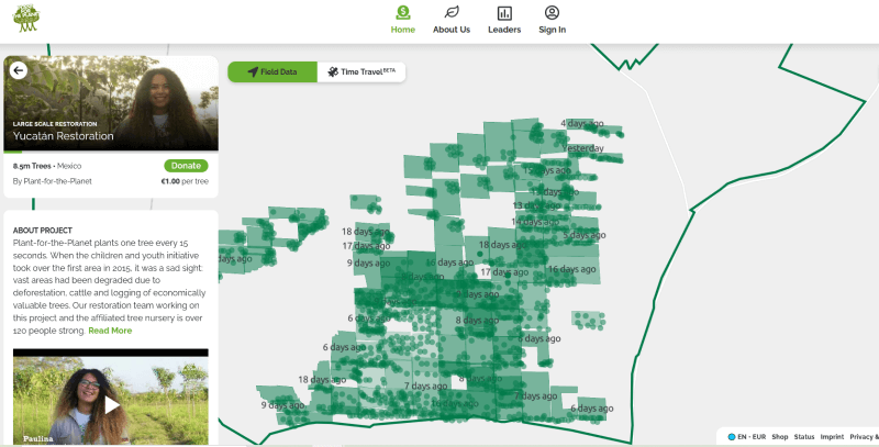
As we explained in a previous blog post at the beginning of the planting season, from this year we are planting a lot more than the previous nine native tree species we planted through 2020. This is because our goal is to restore near-natural forests with a highly diverse ecosystem.
That’s why we now collect some of the seeds ourselves and then let them germinate and grow in our partner tree nursery until they are big enough to be planted in the field. However, the seedlings of some tree species grow more slowly, so we had to be patient until they were ready to plant.
Due to the postponed arrival of certain tree species this year we have been leaving planting rows empty in some cases (in both Constitución and Bacalar), and will return in subsequent months to finish planting the same sites. So many of the polygons on the map uploaded with TreeMapper by our or planting teams day by day will now have additional polygons stacked on top of them which represent follow up plantings in the same area.
The high densities per hectare that are seen in some of the polygons are not errors, but actually follow the restoration plan we developed in collaboration with our Restoration Expert Supervision Board for 2021.
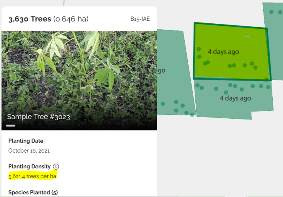
Here we still need to plant another 1,984 trees to meet the specified planting plan for this polygon.
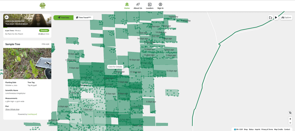
By the way: the little dots in each frame are our sample trees: just click the dots and you will find the individual tree with name, planting date and measures taken when planted. When you turn back to this tree next year you will find new data and see how this tree has grown up.
To learn more about our restoration strategy watch our video Restoration in Yucatán 2021: 7 Steps from Devastation to Biodiversity:
 06.23.26
SB 64 in Bonn: the highlights and results
Climate Finance, Youth Participation and forest conservation in the spotlight at Bonn’s climate negotiations From 8–18 June, delegates from around the world gathered in…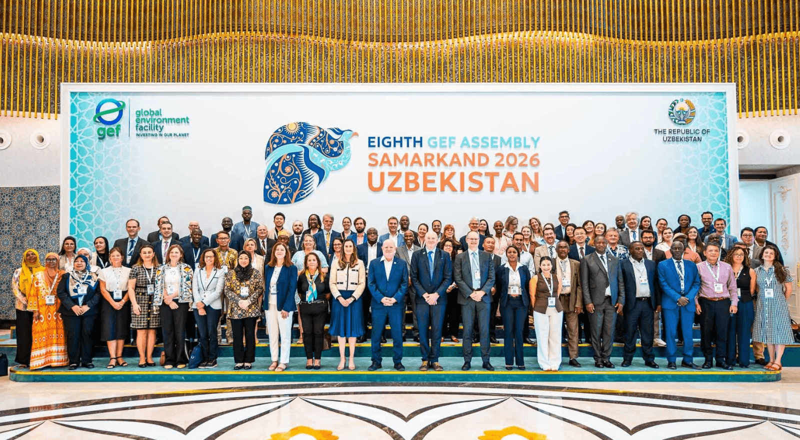 06.17.26
The 20 % Ambition: Can the World’s Biggest Environmental Fund Deliver for Local Communities?
Sagar Aryal (CTO at Plant-for-the-Planet) is also the Vice Chair of the GEF-CSO Network and led the civil society policy/delegation in the GEF-9 replenishment… 06.01.26
How the New UN Resolution Shows the Power of Grassroots Climate Action.
“No matter how big the vision, together you can make it happen — no matter how far you might feel from the ‘center of… 05.26.26
The Silent Majority for Climate Protection – Time to Take Action!
Every day, you are confronted with news about economic crises, wars, and other catastrophes. Climate issues, however, seem to be something few people still… 05.22.26
How Biodiversity Loss Is Affecting Water Availability in Tanzania.
Have you ever visited your childhood home or town and realised how much it changed? The garden is smaller than you remember it to…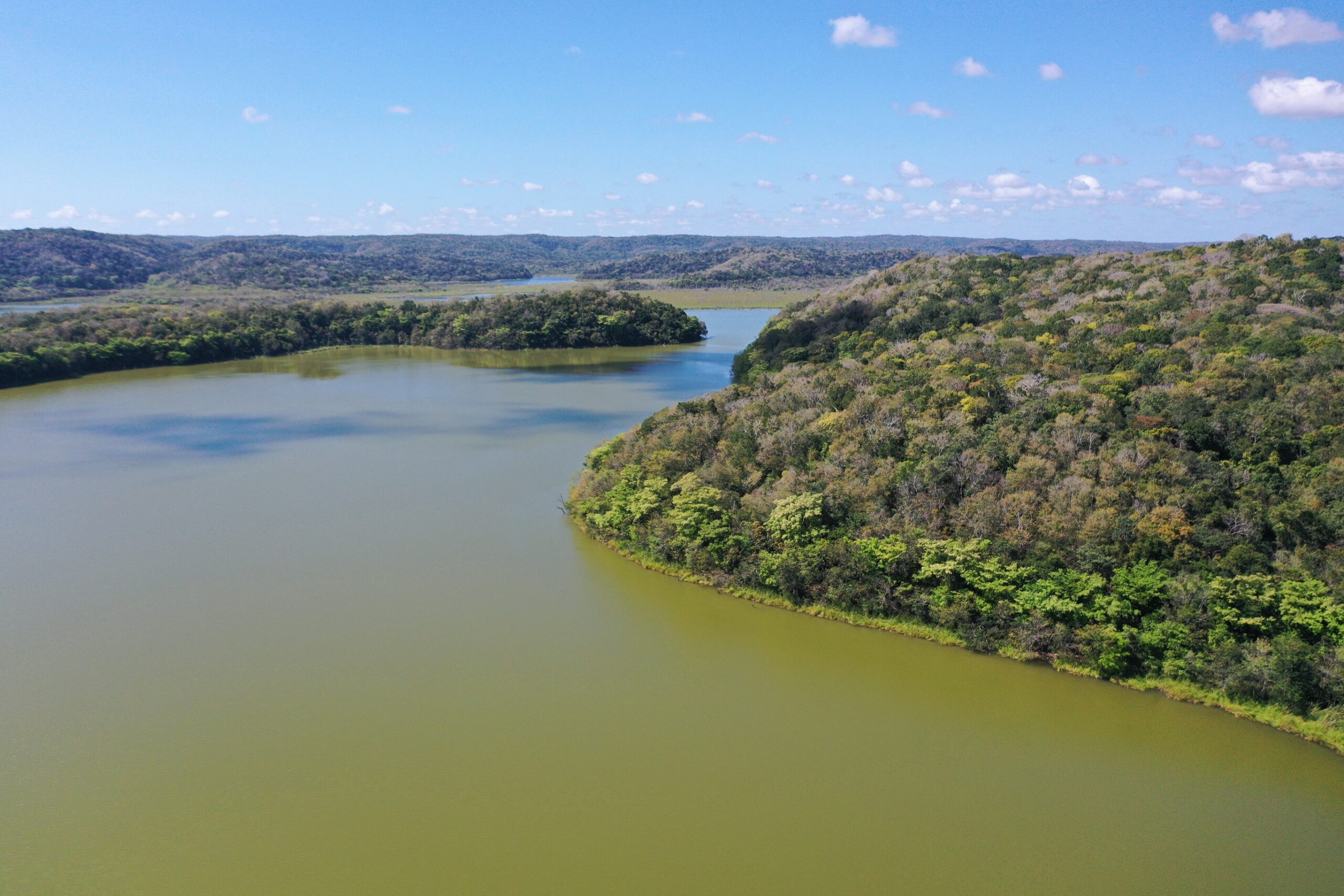 05.22.26
How a Village Protects 20,000 Hectares of Rainforest and Jaguars
At first glance, the village of Miguel Colorado in Campeche, Mexico, does not seem particularly remarkable. With around 1,000 inhabitants, it is similar in…


