September 23, 2021

Plant-for-the-Planet
The UN Decade for Ecosystem Restoration calls for a green streaked commitment: Let us work together as a global community to regrow nature. Mother Earth wants to stay beautiful – and she is our future! Sounds like a mission. Are we up to it? Well, let’s say you want to restore degraded lands and bring back biodiversity to tackle the climate crisis. Do you know how to do this properly? Having a vision in mind is the right start – using the right tools to do so is the next step. Dinosca Rondon, our GIS coordinator at our planting site in Yucatán in Mexico, will tell us how science-backed restoration works with the help of GIS and TreeMapper.
Dino, what is GIS and why is that important in restoration projects?
GIS (Geographic Information System mapping) is a crucial part of ecosystem restoration and guides the decision-making for our planting efforts in the Las Americas, Yucatán, Mexico: My main job is to create detailed maps of the vegetation, soils, water and weather conditions including precipitation and temperature rates. I also often help with restoration supervision. There really is a certain necessity to do so since we have a long-term growth strategy in mind. All my activities are part of the field verification which is highly important because observing past and present conditions will tell us how to plant wisely. Adding to this, we analyse the planting fields by using NASA and Sentinel-2 satellite imagery from the past few decades. It gives us insights into temperature and precipitation changes and finally confirms our predictions of how likely certain areas might be flooded at a certain point in the wet season. This is how we know where and when to plant flood-resilient species mixes and some peculiar species that only grow in certain areas.
High-level documentation and reporting with TreeMapper improves our restoration process and brings transparency which hopefully inspires others to start using it as well.
… what about natural events like the past hurricanes in 2020?
Good point! Keyword risk prevention. In the past year, we had different storms and a hurricane here in Campeche. So, we have to investigate, analyse, predict and finally prepare ourselves well before planting trees. The right questions are important: Where and when did hurricanes and storms occur? How many areas were flooded in the Americas? How many areas have been dry, forests or pastures before? Which type of species do we have to plant where? With GIS we predict possible natural future events like flooding, drought and temperature changes by learning from historical records. One of the GIS’s goals here is to revise past situations for successful future engineering and land verification. Our most important tool for further analysis is the TreeMapper app. It helps us with restoration data collection and contributes to the monitoring and measuring process. In short, we take coordinates and other useful data like the density of plans, type of species, height and diameter of trees and the total species number of our planting areas which we then implement into the App. In that way we record our planting process and measure on-site the exact impact of our work – all this is shared on our platform and updated every day so that everyone can see what we did where. (perhaps hyperlink platform Yucatan, sample tree image, see below) High-level documentation and reporting with TreeMapper improves our restoration process and brings transparency which hopefully inspires others to start using it as well.
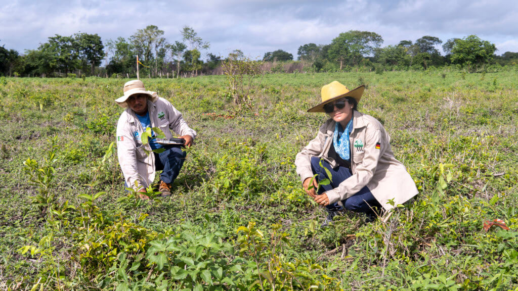
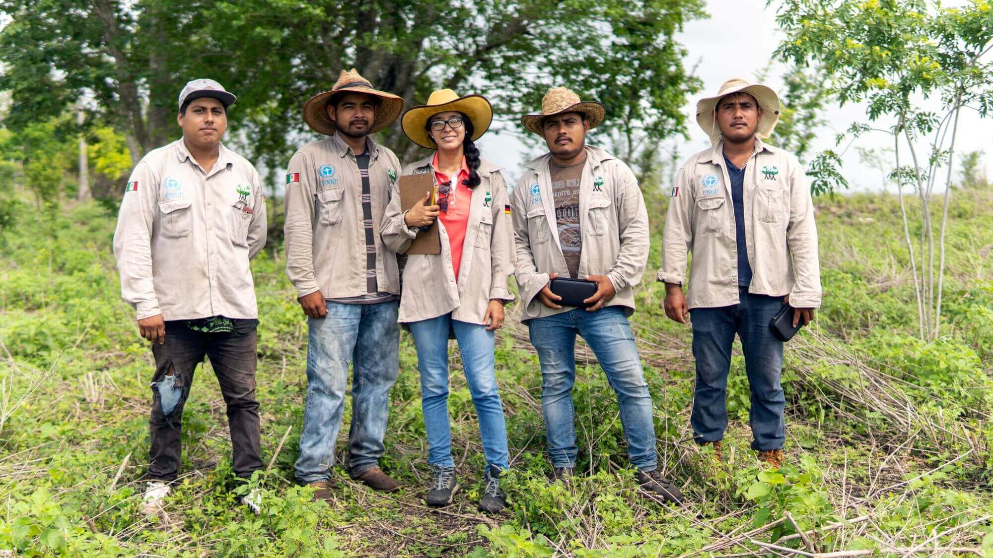
Ecologists taking data in the field. 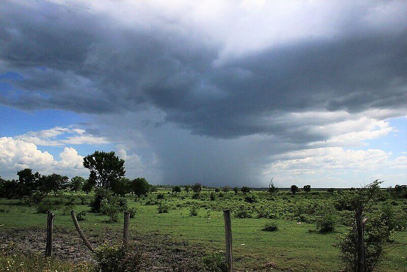
Getting weather data in advance is essential to the success of planting.
Keyword transparency. What’s a day like in the planting period in Yucatán?
The rainy season started in June and lasts until December. This is the right time to plant trees! Our aim is to plant 2,5 million trees in two different locations this year – 2,1 million trees in Las Americas 7 and 400.000 trees in Bacalar. Both areas were destroyed due to cattle pasture and forest fires. A day starts with the restoration team planting in the areas while my monitoring team and I are documenting and collecting data there. To get a little more specific: the foresters plant 100 plants per tree row which includes at least 9 different species. (check number) Antoñio, our restoration coordinator, defines the number of trees and species every morning with the aim of continuously increasing the total number of trees for every further planting day. Besides that, our restoration supervision includes the investigation of soil types, other ecological issues and making sure the number of planted trees in every hectare is correct. Also, we check if the right species and mixes are being planted. I am very glad my whole verification team comes from Campeche, Constitución. They know the local soil types and growing tree species. Their keen knowledge ultimately contributes to a better restoration. In the second part of the day – once everything is planted – we verify and mark the field sites, called polygons, with the help of TreeMapper including GPS technology. Sometimes we walk more than 10 kilometres around the polygon depending on how many trees were planted on that day …
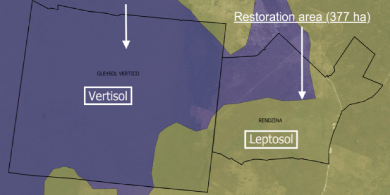
Our planting site “Las Américas 7” has two different types of soil… 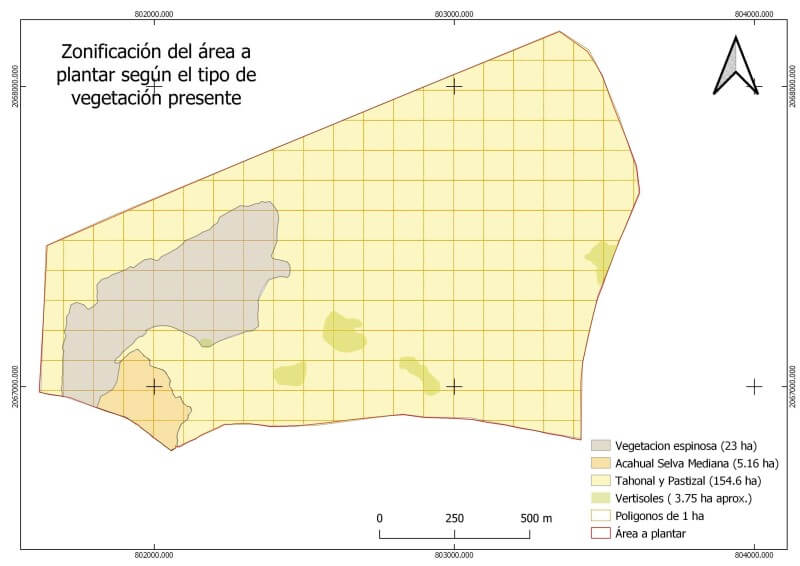
… and also different types of vegetation remained. 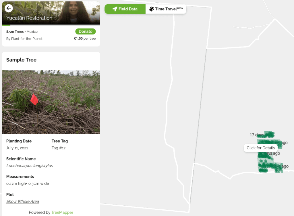
Every planting day some new planted trees of different species are registered for further monitoring as sample trees.
… and all effort while enduring that current heat – respect! What about the already planted trees?
It is exhausting, but very much worth it! We call the sites where we grow already planted trees our permanent plots. They are, of course, a crucial part of our work. We come back regularly to measure again and again our trees and recruits. That is part of the overall verification. Ecosystem restoration is a long-term process. Just like nature, our activities are performed in cycles and steps. Ultimately, documenting, verifying and measuring our project leads to a better restoration. It means seeing the bigger picture. Even literally: my verification team also flies drones above our site to create high-resolution maps of the sites before and after planting. This way we can monitor how it changed over time. (See the video here hyperlink)
Dino, what an exciting endeavour! Thanks a lot for updating us about the current planting season at Yucatán, Mexico.
We learn from the past and create a green future by measuring the present. On-site verification is crucial for restoration projects. Tackling the climate crisis means rebuilding nature wisely with the help of modern technology like TreeMapper and GIS.
Visit Yucatàn Restoration to learn more about how Plant-for-the-Planet contributes to the UN Decade on Ecosystem Restoration.
The following video shows how we restore degraded land to livings woods.
 07.20.26
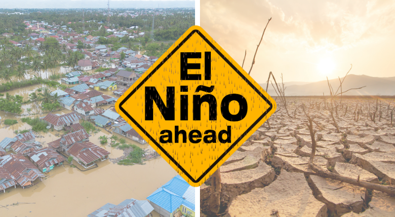
El Niño and Europe’s Heatwave: What’s Really Behind It?
Europe has been gripped by record-breaking heat in recent weeks, with the second-warmest June ever recorded. At the same time, scientists continue to report…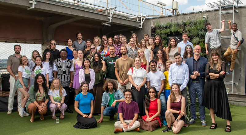 07.15.26
Plant-for-the-Planet comes together: “Global Roots, Local Resilience”
From the 9th to the 12th of July, our team came together for our biennial in-person Global President and Ambassador Council’s Meeting 2026. This…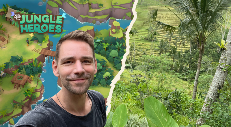 07.08.26
Jungle Heroes: The Game Where Playing Restores Rainforests
Most mobile games take your time. Jungle Heroes gives it back in the form of restored forests. I spoke with creator Sil van der… 07.08.26
Climate Justice in Heatwaves: Why Extreme Weather Doesn’t Play Fair
As the first major heatwave of June 2026 gripped Europe, driving temperatures past unprecedented 40°C thresholds and shattering seasonal averages across the continent, we…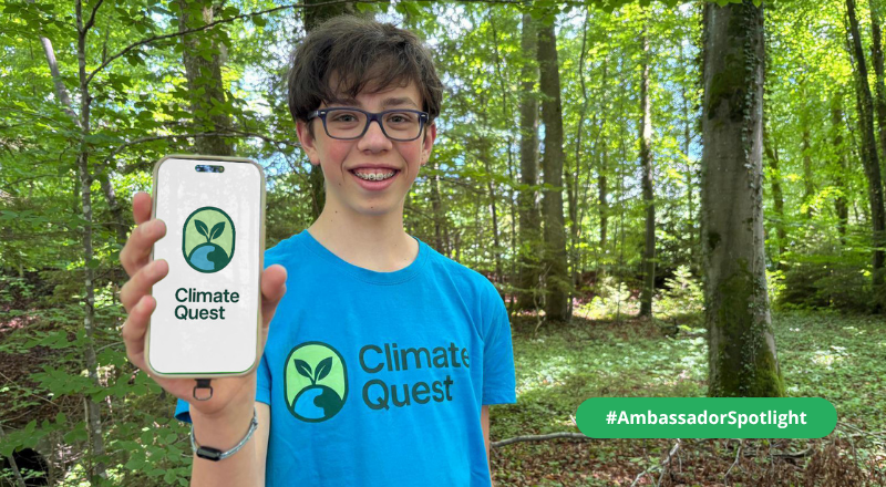 07.03.26
Motivating Climate Action Through Gamification – Ambassador Paul Introduces His App ClimateQuest
From the series on inspiring Climate Justice Ambassadors worldwide Paul already knows exactly what he wants to do with his life: “My goal in…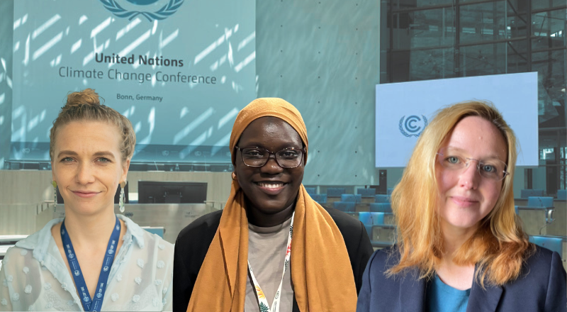 06.23.26
SB 64 in Bonn: the highlights and results
Climate Finance, Youth Participation and forest conservation in the spotlight at Bonn’s climate negotiations From 8–18 June, delegates from around the world gathered in…


